 |
| Oops--Not a good thing! | |
|
|
I had been roving in my assigned area of the lake this morning trying to run down boat anglers to weigh their fish and interview them. I made a turn through a narrow channel that leads to a small bay that parallels the main bay of the lake. I started to pass through with 45 feet of water under the boat. I took my eyes off the sonar to look briefly left and right for dangerous areas of shoreline. When I glanced back to the sonar unit I pulled the throttle back hard and hit reverse. Two feet of water showed on the screen. It happened in a heart beat. We wouldn't be going back into that area for the rest of the year.
 |
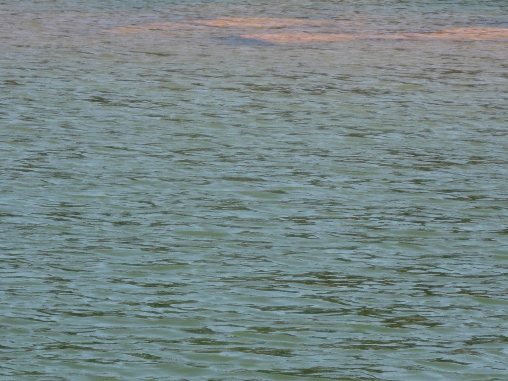
| There's 2 feet of water in that narrow |
|
|
|
|
It looks good from here but, only two feet of water separates the bottom of the boat from the bottom of the channel.
 |
| We'll exit through this cut |
|
|
|
Once through the narrow channel; it was clear sailing to the open bay.
Cherokee Lake has been drawn down approximately a foot to a foot and a half per week. It could see a total draw down of 70 feet or a bit more. This means that if water I'm driving on today is 45 feet deep; by mid October it will be dry land. I can see the topography change daily as I run the lake.
 | | | | |
| Another Mud Hill is rising to the surface |
|
This unmarked mud hill (hopefully not a rock pile) will be above water in about two days. It is an unmarked area and presents a very dangerous situation for boaters not familiar to the lake. If I didn't have the sonar/GPS unit on my boat; I would be very nervous driving these waters.
The above mud hill is scary. It's very close to the main channel and is unmarked with any warning buoy. It just appeared over the past four days.
The above mud hill is in the back waters of German Creek. When full exposed; it will create a new shoreline. All the water to the right and front of it will be soil and passage will not be possible.
The boat is sitting on 4.4 feet of water where I took the shot of the mud hill above. That pathway through the lake will be totally blocked in another week. I may be able to pass by if I stay directly over the stream channel laying beneath the surface on the bottom but, it's an iffy proposition. Hardly worth a boating accident.
If you look at the GPS screen you can see the main river channel (Holston River) that flows on the bottom of the reservoir. The water is deepest directly above that channel. It is the dark blue ribbon line. The black pointer is me driving on it, hopefully. The lighter blue area is the reservoir boundaries.
Note, below, the bird wing looking images on the sonar screen. Those are fish beneath and to the sides of the boat.
.The 82.5 is in degrees and is the surface temperature of the water. A depth number is above but, cut off in this shot. The numbers to the right side of the screen are also depth markers but, they relate to the depth of the fish, which you can see to the left in the form of little wings. I'd fish 45 feet deep in this spot.
The above shot appeared earlier but, it shows the depth at 2 feet and the water temperature at 82.4 degrees. The boat is traveling at a speed of 1 mile per hour if you look at the left screen. Note where the black pointer, my boat, is. we're far off the main river channel.
It was time for a banana and a baloney sandwich. I decided to take a brake on a mud hill in the middle of the channel. What a place to take a break! Only me.
This hill is really big. It is comprised of sand and shale. More are made of rocks and boulders.
The boat looks lonely sitting there. I walked clear around this hill while eating my sandwich and drinking some white whole milk.
The shorelines are becoming more and more exposed as the water is drawn down. The generation of power at the dam requires lots of water. This is a flood control dam and TVA is drawing it down even further in preparation for possible heavy Fall and Spring rains.
 | |
| Shot taken of German Creek |
|
|
|
There is a passage to the next adjoining channel by going through that narrow strait that can be seen top and center.
Once through that cut that takes me around that island on the left; it's clear running down the river channel to the mouth of German Creek and the open bay of Cherokee Lake.
These current water conditions are temporary. The lake will be drawn down to what seems like an absurd level. Fishermen will still fish and think nothing of it. This lake can be intimidating to a newcomer, however. Anyway; it's the end of my shift and I have to load up the boat.
The boat ramp at Oak Grove Park is getting longer and longer as the water recedes more and more. I have to stop using this ramp if the truck wheels drop off the water end of the ramp and the wheels go onto the gravel/mud lake bottom. She'll be swamped.
Next week should be interesting as the water will be another foot and a half lower.
Check in again in a couple days and the water should look real interesting. Thanks for watching.
I miss you Douglas!


No comments :
Post a Comment
I appreciate your interest in my blog and welcome your comments