APPRECIATION OF ROCKS and STRANDED
Millions of years ago, East Tennessee was covered by a shallow ocean. The geology under this ocean was comprised largely of limestone rock. Wow - how bout that! This shines an entirely different light on the rocks that surround the waters of Cherokee Reservoir. Wow! Maybe I've been too hasty in my assessment of the lake. It's quite possible that I've been looking at something beautiful without seeing it. Remember, one has to not only look but he must see also. Limestone is subject to erosion and millions of years of erosion has created fissures and caves in the rock strata that can eventually lead to the water table that we use for our supply of clean water. Guess we have to be careful not to pollute our lakes, streams and reservoirs so that pollution does not seep down through fissures in the rock layer and contaminate our fresh water supplies. Is it too late to worry about this, I wonder?

Early morning found Shade and I at the boat ramp located in Panther Creek Park. She's a long one for sure. I couldn't wait to get out on the lake and ponder the beautiful shorelines covered with interesting boulders and rocks. How shallow of me to assume the shorelines of Cherokee Lake were ugly and bland! Armed with my new found appreciation for the lake - we were off.
I immediately tried to determine if there was any pattern to the rocks. Were they laying in a horizontal line or were they stacked upon each other. No - couldn't see anything here on this shoreline. Maybe it would be different out on the main lake.
We got to the end of Panther Creek and turned right to follow the beautiful rocky shoreline upstream where some really interesting and impressive rocks were. The rocks so far amounted to just so much scree.
I think that even Shade sort of was gaining interest in the rocks as she stared and stared at them.
Ah - the trees and water are accented by this magnificent display of rocks. They don't appear to be limestone rocks though. They are however, eroded and etched deeply by the constant erosion of time. Another impressive formation is below in the following picture.
I'm really trying hard to realize the beauty that I've missed over the past three years and I'm having difficulty finding it. I guess my mind isn't quite open to the idea that rocks are pretty. I'll keep trying.
Ah, now we're getting someplace. This formation juts out into the water and comes to a point. I can't see beauty in it but, the shape and form of the abundant rocks is indeed impressive. They are sort of - well - just there.
Now we're getting somewhere. This formation probably was a solid wall of rock at one time. Erosion and freeze cycles evidently invaded the tiny fissures and crevasses prying the stone apart, eventually breaking them into various sized pieces. Oh, the excitement mounts!
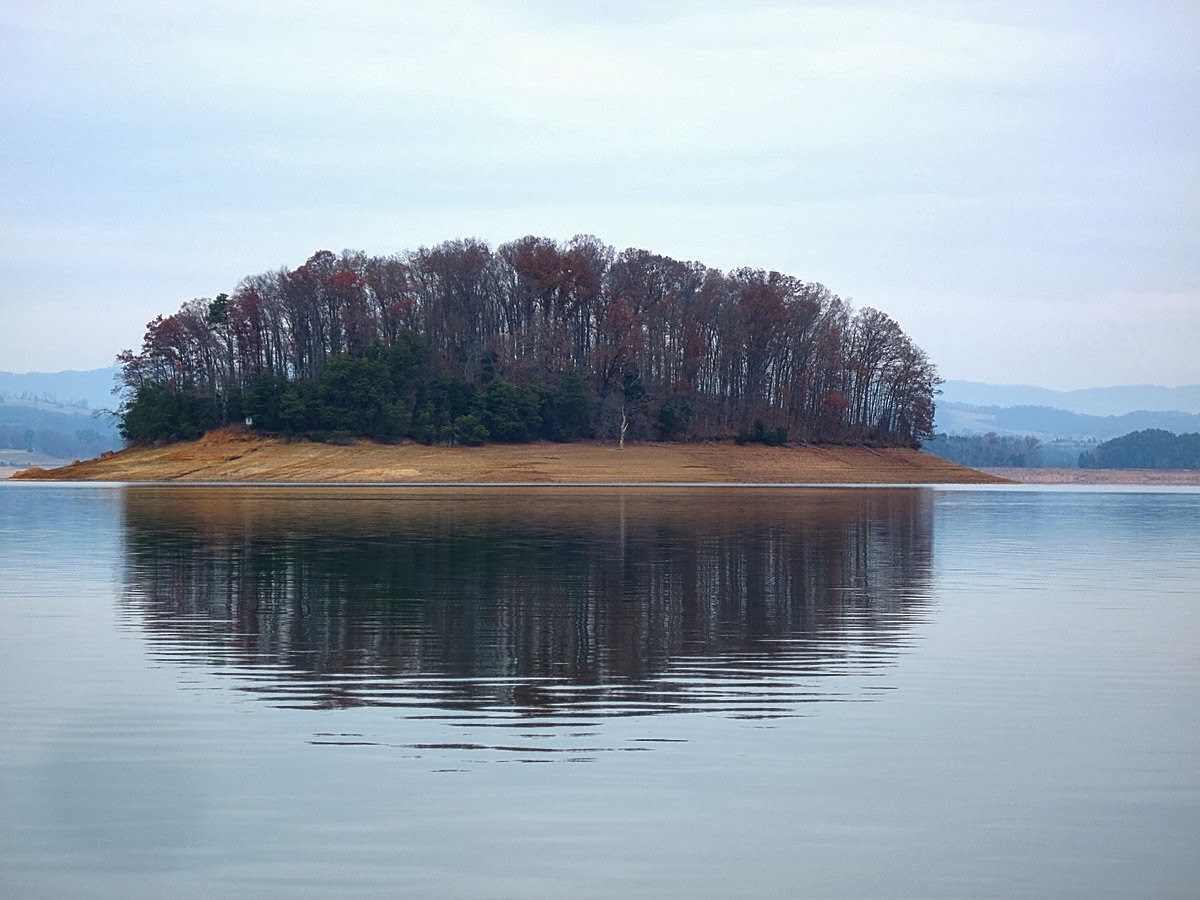
The islands are in actuality mountain tops that protrude from the surface. The shale and gravel shorelines of these mountain tops are normally under water. During their underwater tenures the rocks have collected sediment and have been transformed into what you see above. The rocks are covered by sediment. But don't be deceived. Under that smooth shore lies rocks.
I can add no information about the above shot. It's just a pile of rocks. Below, however, is a formation indicative of severe freeze, thaw cycles that have broken the strata into what appears like blocks of rocks. Notice that the broken rocks have been attacked by erosion down near the water line. This anomaly will no doubt transform the broken rocks above into rock litter over time.
I think the shot below is simply a rock slide. Hope nobody was camped on the shoreline when it happened.
One has to remember that these are mountains and I'd bet that the rock above continues on uphill to the top of the mountain. It's covered by a thin soil layer comprised of decayed plant life (trees etc) over millions of years.
Sonar indicates the surface water temperature is 54.2 degrees. Burr!!! Also the little winged images represent striped bass down near the bottom. There are a few fish at the 25 and 30 foot depths. But, there are a bunch of fish laying on the bottom in that depression. Neat, huh?
I've labeled all the dangerous sections of the lake on the sonar map unit that I could over the years. This is one place to use extreme caution when near. And below is why:
Above: This entire bay area is inundated by rock piles (mountain tops). Many, many of them do not show above the surface of the water but, lie just inches under the surface waiting for some inattentive navigator to strike them and send a boat down to rest with Davy Jones. Nice lake - huh?
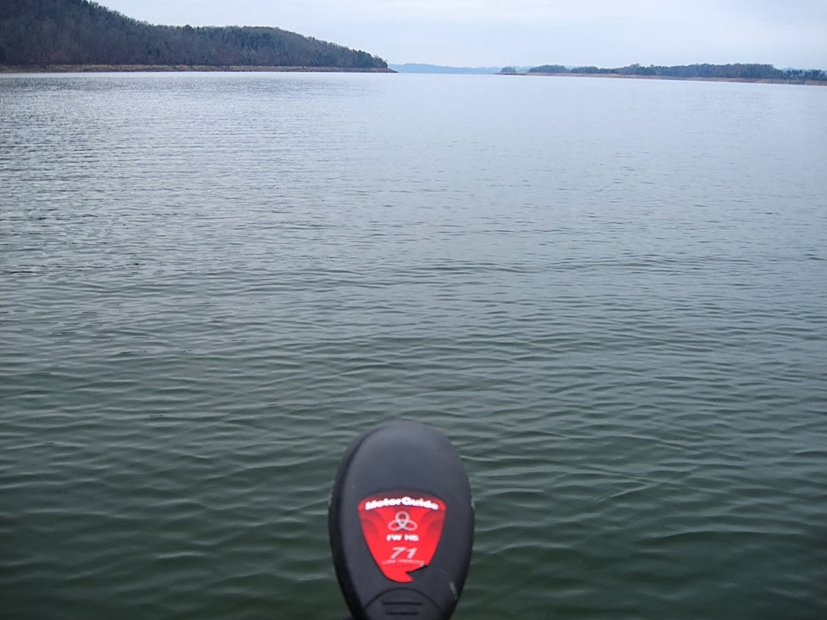
It was just about here that the engine quit on my boat. We were about two miles upstream from the boat ramp and almost helpless. The engine just quit and it would not start. We were adrift and cast out to an unknown fate.
Being the resourceful and experienced navigator I am - I did the only thing I could do. I dropped the electric motor (troll motor) and headed back toward Panther Creek a the brisk speed of 1.7 miles per hour. Lets see - about 2.5 miles away from the truck would require - lets see - about two weeks to get back.
Lets see - a gaze toward the horizon downstream indicated we would die of thirst and malnutrition out here.
Perhaps a call to the agency would be prudent due to the unique circumstances. No power, no food, not much liquid to drink, cold, no extra clothes to change into after I fell in the water. Yep - it's time to call for a tow.
Shade didn't seem to care much. She was deep in thought over when I was going to give her a biscuit.
We had been blasting down the lake at the phenomenal speed of one mile per hour for the past almost 3 hours when suddenly the point marker sign that said point 8 appeared on the left. Wow! This was the mouth of Panther Creek. Amazing! The bad thing was that the electric motor was running a lot slower. The batteries were just about done for. We continued on.
In the above shot you can see a waterway that cuts of to the left. That leads to the boat ramp. We were just about dead in the water right here but, the little electric motor kept running.

If you look just left of center you can see the cavalry coming out to get us in another boat. It's a tiny but welcome spec. I don't think the tiny electric motor would have got us back. If not, it would be a tremendous hike around the shoreline over all those boulders and rocks to the truck and the boat would still have to sit out against some shoreline roped off to some boulder. A long story short - my coworkers tied a rope to my boat and pulled us on in to shore where I backed up the trailer and struggled to load it on. Whew. I think Cherokee Lake was getting me back for all the bad mouthing I had been giving it for the past three years. I still can't see the beauty of all the rocks surrounding this big puddle and I still think it's one of the ugliest lakes in the world. I can find no succor in the geology of the place. So, in my mind it remains a stone quarry filled with water - the devil's bathtub. But then, you knew that would be my final determination. LOL


No comments :
Post a Comment
I appreciate your interest in my blog and welcome your comments